Land. Open your Mac. Process.
Start working with your imagery while you’re still on site. Review the survey and its results where you can do something about them.
Drone photogrammetry. Made for Mac.
From the last flight to the back of the van. Turn drone imagery into point clouds, surface models, and orthophotos. Right on your Mac.
Built for Apple silicon
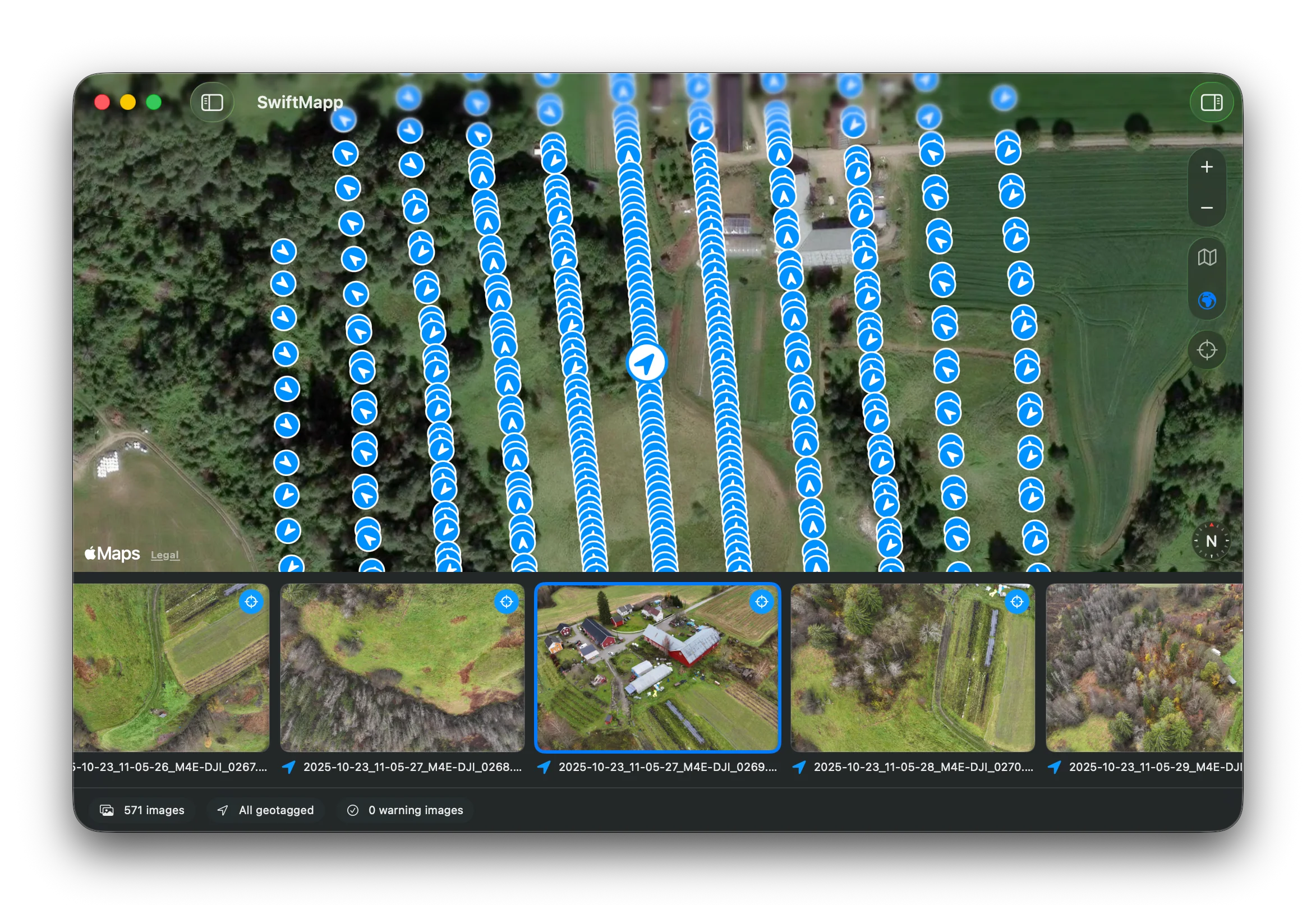
Start working with your imagery while you’re still on site. Review the survey and its results where you can do something about them.
Purpose-built for Apple silicon, with native GPU acceleration and a familiar Mac interface. Serious processing, on the laptop you bring along.
Your imagery, processing data, and results stay together in one portable project. Keep control of your data, from the field back to the office.

Help shape what’s next
We’re building SwiftMapp for people who survey. Join the list to hear when the beta is ready to try.